Introduction
Hurricane Lee’s rapid transformation from a mild tropical storm into a potent hurricane has caught the attention of forecasters and residents alike. This article will explore the latest developments surrounding Hurricane Lee, focusing on its current strength, projected path, and potential impacts on the Leeward Islands and beyond.
How Strong is Hurricane Lee?
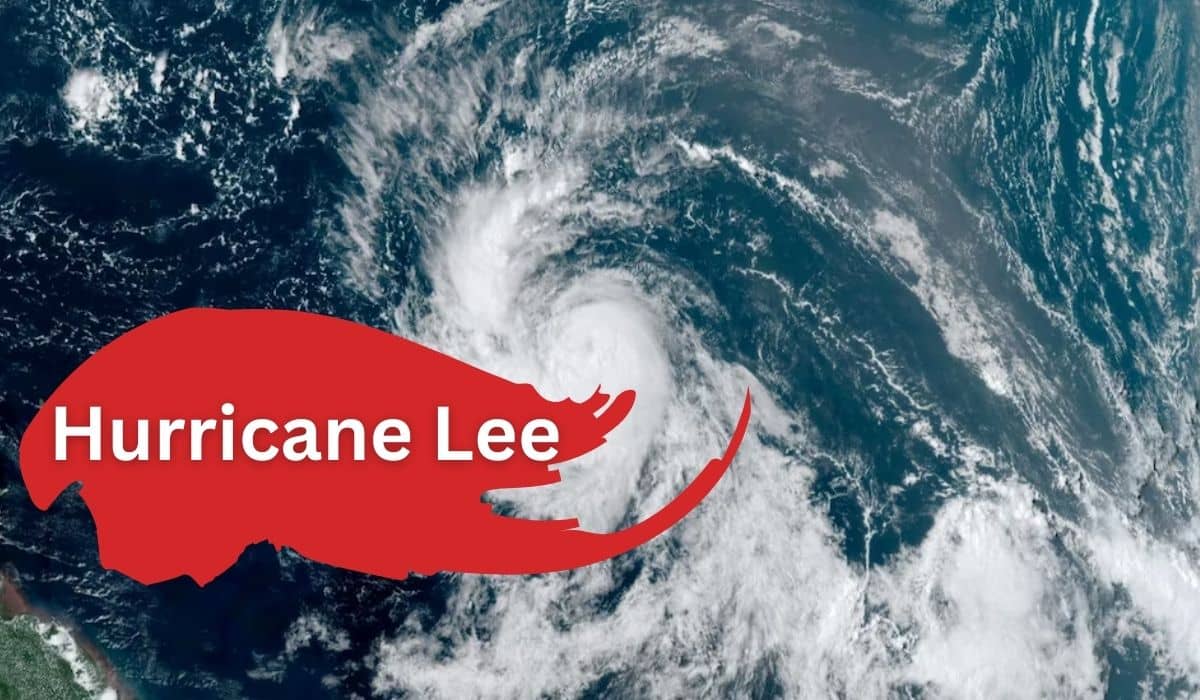
Hurricane Lee currently boasts maximum sustained winds of 80 mph, as reported by the National Hurricane Center in Miami. It has been rapidly intensifying as it moves west-northwest at a rate of 14 mph, positioning itself approximately 1,035 miles east of the Northern Leeward Islands. However, what sets Hurricane Lee apart is the potential for further intensification in the days ahead.
How Could a Stronger Storm Affect Lee’s Course?
Meteorologists anticipate Hurricane Lee will attain major hurricane status, potentially reaching Category 4 with wind speeds reaching up to 150 mph over the coming weekend. This rapid strengthening is primarily attributed to the exceptionally warm waters of the Atlantic it traverses. These record-high sea surface temperatures provide the ideal conditions for Hurricane Lee to flourish and maximize its potential strength.

Will Lee Impact the Leewards This Weekend?
Despite its impressive development, current weather models suggest that Hurricane Lee is likely to steer clear of Puerto Rico and the Leeward Islands, offering some relief to residents in those areas. Furthermore, the models indicate a more northerly trajectory in the coming week, minimizing the risk to Florida and the southeastern United States.
However, the dynamic nature of hurricanes necessitates continued vigilance. Any alterations in Lee’s path could potentially bring it closer to the Leeward Islands, prompting the need for heightened awareness, especially regarding heavy rainfall and strong winds. The Eastern Caribbean, including the Leeward Islands, Puerto Rico, and Hispaniola, must remain prepared for potential shifts in the storm’s trajectory.
Where is Tropical Storm Lee?
As of the latest report, Hurricane Lee is located approximately 1,130 miles east of the northern Leeward Islands. While it is too early to definitively predict whether the hurricane will make landfall on the US mainland, it’s important to note that the indirect impacts of such a powerful storm, such as dangerous surf and rip currents, could pose a threat to the Eastern Seaboard, even if the hurricane remains offshore.
Conclusion
As Hurricane Lee continues its rapid intensification and advances westward, the situation remains fluid. The warm Atlantic waters and favorable atmospheric conditions provide the ideal environment for Lee to potentially become a Category 4 or even Category 5 hurricane. While the current forecast keeps it away from direct landfall on the Leeward Islands or the southeastern United States, vigilance and preparedness remain paramount in the face of any potential storm.
The 2023 Atlantic hurricane season has already proven to be more active than usual, with an above-average number of named storms and major hurricanes. With the peak of the season approaching, it is essential to stay informed and ready for developments related to hurricanes. Hurricane Lee serves as a reminder of nature’s power and unpredictability, underlining the importance of preparedness while maintaining hope for the best possible outcome.
See Also https://americpulse.com/sophie-turner-and-joe-jonas-divorce-what-we-know/